
GIS Mapping

Our services are geared toward preventing service disruptions, reducing damages to your facilities, improving planning and development, eliminating costly repairs, and facilitating informed business decisions with access to accurate, reliable infrastructure information.
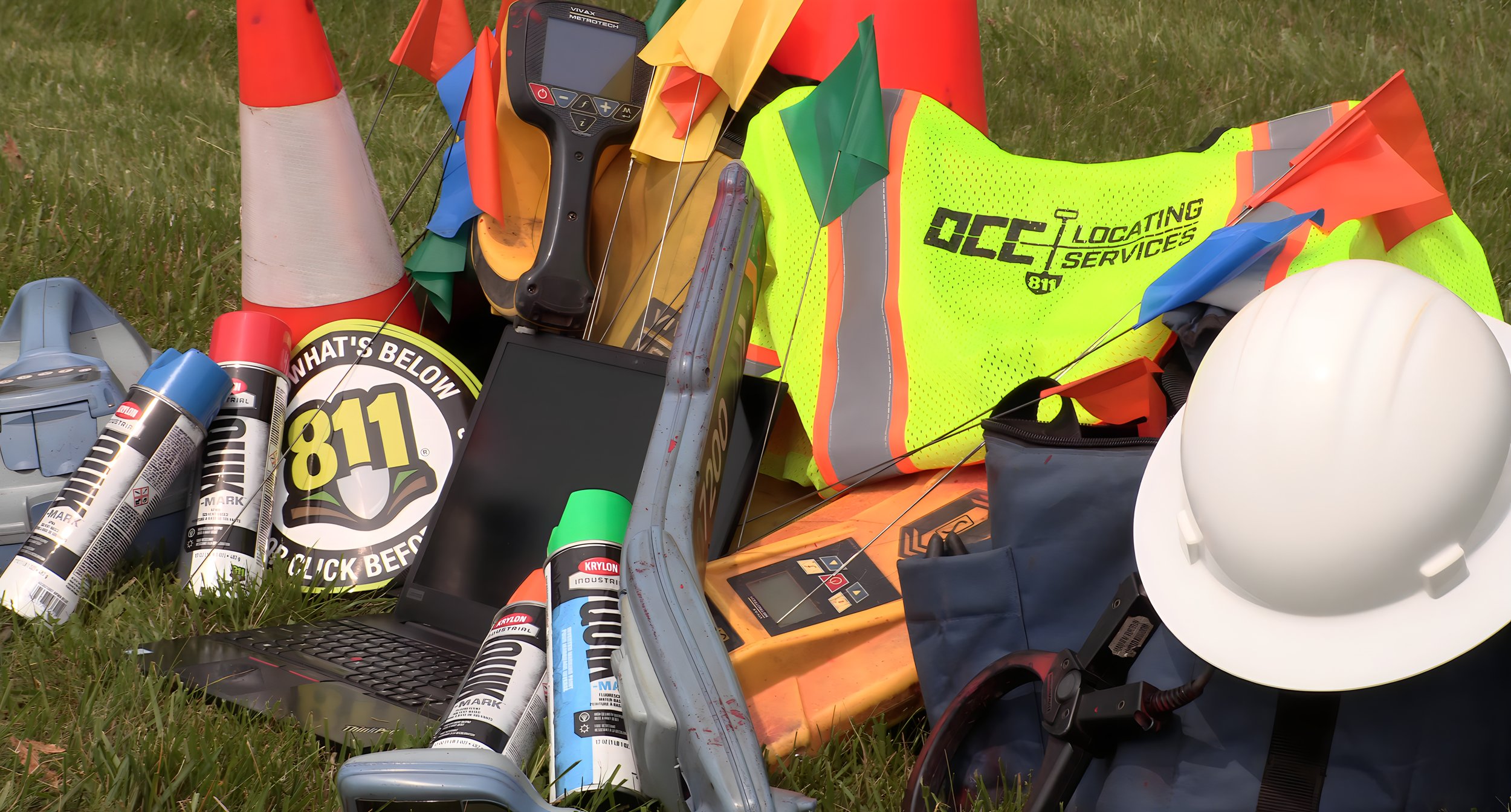
We have a dedicated and experienced workforce with extensive underground locating and utility infrastructure knowledge and expertise. Our process blends consulting services with accurate mapping resources to create, manage and track your critical data.
Our utility mapping and GIS service was created to support the increasing demand for more accurate and comprehensive information. In today's data-driven society, facility owners and engineers can no longer afford to work with outdated records and incomplete paper maps. They need access to fast, reliable utility information for planning, maintaining, repairing, protecting, and tracking facilities.
A full-service utility mapping and GIS solution that includes:
• A CONSULTATIVE APPROACH ― UNDERSTANDING YOUR NEEDS
• GROUND TRUTHING ― ALL INFORMATION COLLECTED IS VALIDATED, NOTHING IS ASSUMED
• MAPPING THE RESULTS ― DATA AT YOUR FINGERTIPS