
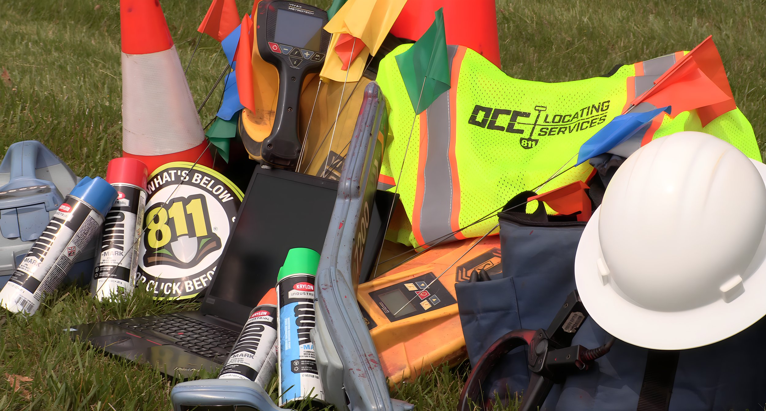
ESRI Services

We have a proven track record of providing and supporting our customers with the management and record-keeping of their utility data. Our services were designed to capitalize on the changing needs of geographically-focused businesses and projects. We blend consulting services with locating, mapping and technological resources to create, manage and track your critical data by employing the state-of-the-art ESRI platform.
Once utility data is captured, maintaining it permanently in a cloud-based data storage provides easy access to the information for those who need it on a regular basis in a highly available manner. Our objective is to help you capture precise utility data and associated attributes that are compatible with and easily integrated into your information systems and business processes.
With our state-of-the art and cloud-based GPS and GIS technology, we can ensure precision and data integrity. In today’s data-driven society, facility owners and engineers can no longer afford to work with outdated records and incomplete paper maps. They need access to fast, reliable utility information for planning, maintaining, repairing, protecting and tracking facilities. While some methods of facility management can offer you a generalized view of your utilities, using a combination of locating, GPS and GIS gets you within centimeters of each line and a true picture of your infrastructure.
As your total utility protection services partner, we work with you to implement best practices. We can provide:
1. Initial Consultation
2. Project Blueprint
3. Data Capture/Conversion/Integration
4. Mapping/GPS/GIS Solutions
5. Ongoing Support
During our Initial Consultation, we work with you to understand what utility information you need and how it will be used. Your dedicated project manager uses this information to build a customized plan, and allocate and manage the appropriate resources.
Your Project Blueprint is presented to demonstrate how your utility data will be collected or converted, providing an overview of the OCCLS team that will be managing the tasks. This also includes a calendar of deliverables with a recommended budget and timeline.
During Data Capture/Conversion/Integration, your team is deployed. We use the most advanced techniques and systems to ensure precision and data integrity, including Differential GPS (DGPS) and Real Time Kinematic (RTK). OCCLS ensures that all of your utilities are mapped accurately and verifies the data through our Ground Truthing verification program. All information collected is validated; nothing is assumed.
Our Mapping/GPS/GIS Solutions include a variety of color-coded and high-resolution maps that can be layered and detailed. Your custom map can include, but is not limited to: orthographic and satellite photography, location of underground utilities and conduits, property line and survey data, tax records and geocoding, digital landmarks and much more. Once your data is in the system, your maps and records are customizable and available to you any time you need them.
OCCLS can assist in the preparation and manipulation of your utility information and maps. We can even offer a complete mapping solution by implementing it from the ground up and lead it all the way to the final deliverable. Most facilities have changing needs, and their information requires periodical updates, changes or additions. OCCLS's Ongoing Support plan makes this an easy and manageable task.